
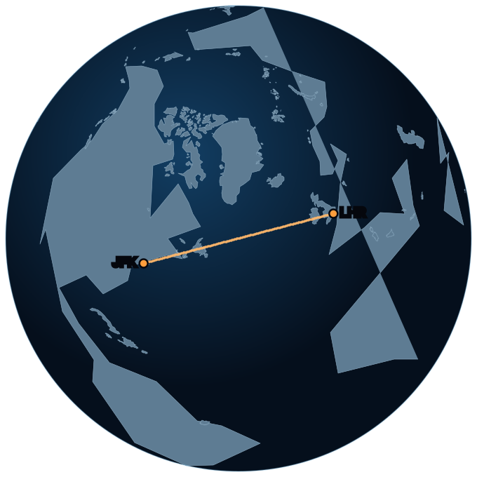
Summary
- Estimated duration
- 6 h 52 min
- Great-circle distance
- 5,540 km
- In miles
- 3,442 mi · 2,991 NM
- Initial bearing
- 51°
- Over water
- 77% · 4,247 km
- Longest stretch of water
- 3,065 km · Atlantic Ocean
- Time difference
- +5 h
Airspace regions crossed (9)
Each one is a separate control region: when the aircraft crosses the boundary, the centre talking to the pilot changes. Boundaries are approximate — they come from the VATSIM data set, not from the official ICAO chart.
- New York
- Boston
- Moncton
- Gander Oceanic
- Shanwick Oceanic
- Shannon ACC - Shannon
- Dublin ACC (Up to FL245) - Dublin
- London
- London TMA (Up to FL195) - London
Time zones crossed (9)
- America/New_York
- America/Moncton
- America/Halifax
- America/Moncton
- America/Halifax
- America/Glace_Bay
- America/St_Johns
- Europe/Dublin
- Europe/London
Where it passes
Named oceans, seas, mountain ranges, deserts and islands under the track, in order.
- Long Island
- Long Island Sound
- Massachusetts Bay
- Gulf of Maine
- Bay of Fundy
- Nova Scotia
- Gulf of Saint Lawrence
- Prince Edward Island
- Gulf of Saint Lawrence
- Newfoundland
- Labrador Sea
- British Isles
- Ireland
- Irish Sea
- Great Britain
- Cambrian Mountains
- Great Britain
Peaks near the route
Within 120 km of the track. Highest first.
- Snowdon — 1,085 m
- Carrauntoohil — 1,038 m
- White Hill — 535 m
And all of this, on board
Modo Avión does all of this with no signal, with the phone in airplane mode: where you are, what you are flying over and how much is left. Free, no account, and nothing is sent to any server.
Get the appHow this was calculated
The route is the great circle between both airports, split into 300 points. At each point a point-in-polygon test runs against 1,102 airspace regions, 418 time zones and 1,338 physical geography polygons. A real aircraft does not fly the exact great circle: it follows airways, avoids storms and rides the wind. This is the reference, not the flight plan.